Understanding the geographical location and map layout of Faisal Town Phase 2 (FT2) is not just important — it is essential for making an informed investment decision. In Pakistan’s real estate market, location defines appreciation potential, resale liquidity, and long-term viability more than marketing claims.
In this comprehensive 2025 guide, we will break down:
- The exact geographical positioning of Faisal Town Phase 2
- Its relation to major highways and interchanges
- Nearby housing societies and landmarks
- Motorway and Ring Road connectivity
- Block-wise orientation understanding
- How to read the official FT2 map correctly
- Strategic insights for investors
For verified plot location confirmation, GPS site visits and professional advisory:
Gains Real Estate & Marketing Pvt Ltd
📞 Call: 03331003535
📞 WhatsApp: 03355592930
🌐 https://malikjunaid.com
Where Is Faisal Town Phase 2 Located?
Faisal Town Phase 2 is located in the rapidly developing corridor near:
- Thalian Interchange
- M2 Motorway (Lahore–Islamabad)
- Islamabad International Airport
- Rawalpindi Ring Road alignment
Official project updates are generally available at:
🌐 https://www.faisaltownphase2.pk
The project lies in the Fateh Jang / Chakri Road belt, which has become one of the most strategically expanding zones in the twin cities region.
Macro Location Context – The Bigger Picture
To properly understand FT2’s location, you must see it within the broader regional framework.
North
Islamabad International Airport
South
Motorway M2 leading toward Lahore
East
Capital Smart City & Thalian region
West
Chakri Road expansion and rural-to-urban transformation zones
The location benefits from being part of a corridor where multiple mega projects are positioned, including:
- Capital Smart City
🌐 https://capitalsmartcity.com.pk - Other motorway-linked housing developments
This clustering effect enhances long-term appreciation potential.
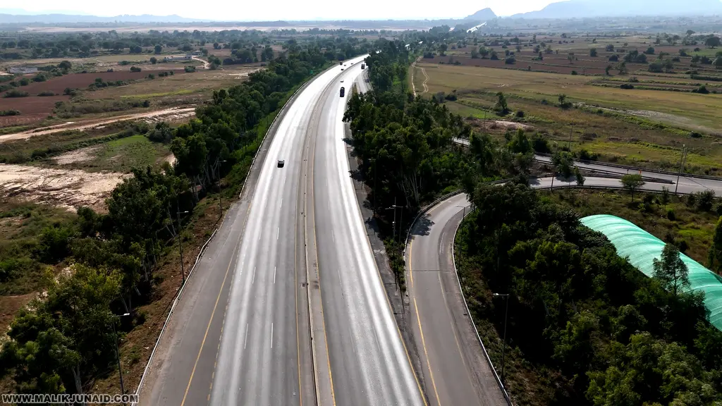
Motorway Connectivity – The Core Advantage
The most significant geographical strength of Faisal Town Phase 2 is its proximity to the M2 Motorway.
Motorway connectivity ensures:
✔ Faster travel to Islamabad
✔ Direct route to Lahore
✔ Reduced traffic congestion
✔ Higher long-term commercial viability
Drive time estimates (traffic dependent):
- FT2 to Islamabad International Airport: ~10–15 minutes
- FT2 to Zero Point Islamabad: ~25–35 minutes
- FT2 to Rawalpindi Saddar: ~30–40 minutes
Connectivity is the backbone of its investment positioning.
Rawalpindi Ring Road Influence
The Rawalpindi Ring Road project has reshaped the strategic value of this corridor.
Faisal Town Phase 2’s proximity to Ring Road alignment means:
- Better Rawalpindi connectivity
- Improved logistics movement
- Increased commercial potential
- Future commuter demand growth
Infrastructure-driven appreciation is one of the strongest price catalysts in real estate.
Understanding the Official FT2 Map
Many investors see the map but do not fully interpret it correctly.
When analyzing the FT2 map, focus on:
1️⃣ Entry Points
Identify:
- Main entrance location
- Secondary access roads
- Proximity to interchange routes
Entry visibility often determines commercial plot strength.
2️⃣ Main Boulevards
Look for:
- Wide central roads
- Double-carriageways
- Future commercial strips
Boulevard-facing plots generally command higher resale premiums.
3️⃣ Block Segmentation
FT2 map shows multiple residential blocks organized by:
- Plot size
- Road width
- Proximity to parks
- Mosque placement
- Commercial hubs
Understanding block hierarchy helps differentiate premium sectors from standard inventory.
4️⃣ Green Areas & Amenities
Properly planned societies allocate:
- Central parks
- Community parks
- Educational zones
- Mosque plots
- Commercial centers
Green belt placement influences livability.
Geographical Comparison With Nearby Projects
Faisal Town Phase 2 vs Capital Smart City
Capital Smart City is located slightly adjacent in the same corridor.
Official overview:
🌐 https://capitalsmartcity.com.pk
Comparison:
| Feature | Faisal Town Phase 2 | Capital Smart City |
|---|---|---|
| Motorway Access | Strong | Strong |
| Airport Proximity | Very Close | Very Close |
| Master Planning | Structured | Smart City Model |
| Development Spread | Moderate | Larger Scale |
FT2 offers faster market liquidity, while Capital Smart City emphasizes long-term smart infrastructure.
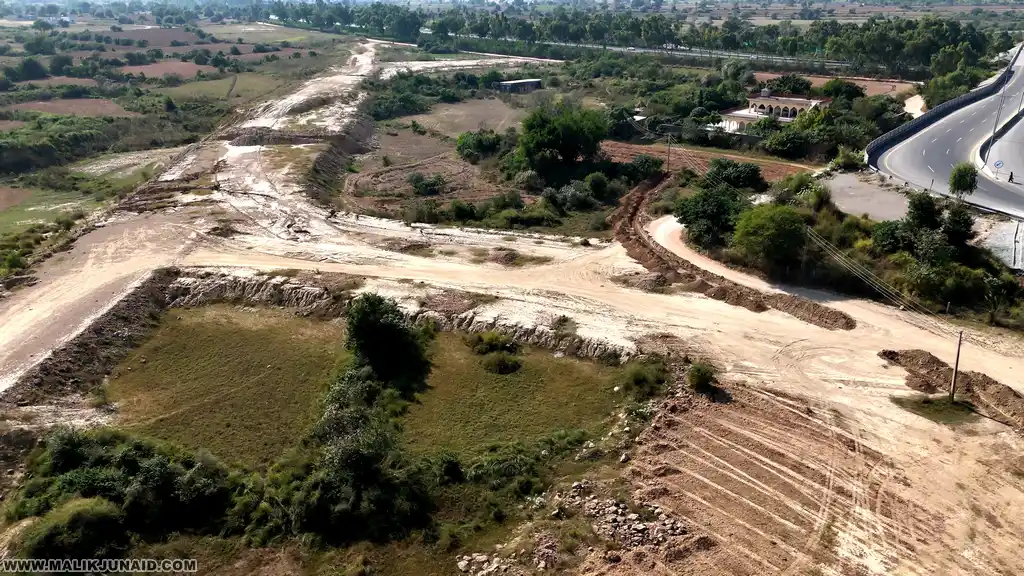
Elevation & Terrain Understanding
The FT2 region consists of semi-undulating terrain typical of the Fateh Jang belt.
Terrain features influence:
- Drainage planning
- Construction cost
- Flood risk assessment
- Road leveling requirements
Investors should physically inspect topography rather than relying only on map visuals.
Why Geographical Location Matters for Investment
1️⃣ Demand Creation
Airport and motorway proximity naturally increase housing demand.
2️⃣ Commercial Growth
Interchange-connected projects attract retail and logistics businesses.
3️⃣ Rental Potential
Employees working near airport or logistics hubs prefer nearby housing.
4️⃣ Long-Term Urban Expansion
Islamabad’s expansion trajectory is moving outward toward motorway zones.
Plot Orientation & Directional Value
When reviewing map plots:
- Corner plots command premium
- Boulevard-facing plots appreciate faster
- Park-facing plots have lifestyle appeal
- Main entrance proximity increases commercial viability
Directional planning impacts resale.
Risks Linked to Location Misunderstanding
Investors sometimes:
- Buy based on brochure without GPS verification
- Misinterpret block placement
- Overestimate proximity to interchange
- Ignore topography
Professional GPS verification reduces these risks.
For verified site mapping and on-ground validation:
📞 03331003535
📞 WhatsApp 03355592930
🌐 https://malikjunaid.com
Development & Location Synergy
Location alone is not enough.
Geographical advantage must align with:
- Development pace
- Infrastructure completion
- Utility installations
- Possession announcements
FT2’s value depends on synchronizing location strength with development execution.
Who Should Consider Investing Based on Location?
Short-Term Traders
Benefit from motorway-driven speculation cycles.
Long-Term Investors
Gain from corridor urbanization.
Overseas Pakistanis
Prefer airport-proximate and accessible projects.
Builders
Need easy heavy-vehicle access via motorway.
Practical Buyer Checklist – Location Focused
Before booking:
✔ Confirm exact plot coordinates
✔ Visit via interchange route
✔ Measure commute during peak hours
✔ Inspect terrain
✔ Verify official map version
✔ Confirm road width and placement
✔ Compare distance to commercial hub
Future Outlook – 2025 & Beyond
The Fateh Jang / Thalian / Chakri belt is undergoing transformation due to:
- Ring Road expansion
- Airport activity growth
- Motorway corridor urbanization
- Private housing developments
Geographical positioning suggests FT2 will remain within the active development belt.
However, price sustainability depends on regulatory clarity and development performance.
Final Strategic Conclusion
Faisal Town Phase 2’s geographical location is undeniably strong due to:
- Motorway M2 access
- Airport proximity
- Ring Road influence
- Corridor clustering with major projects
However, map understanding and on-ground verification are critical.
Serious investors should combine:
Location analysis
Legal verification
Development review
Professional advisory
For verified investment consultation:
Gains Real Estate & Marketing Pvt Ltd
📞 03331003535
📞 WhatsApp 03355592930
🌐 https://malikjunaid.com